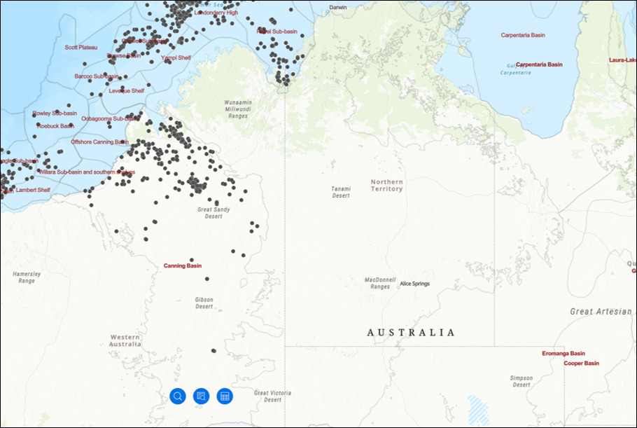
MGPalaeo’s AUSTRALIS geological database is expanding into the Canning Basin, with a fully reviewed and standardized palynological project across the entire basin.
The onshore Canning Basin is one of Australia’s largest basins, and it is also significantly under-explored for hydrocarbon resources. The Australian government estimates potential tight gas resources are 74 TCF, and that an additional 70-150 TCF of shale gas resources are geologically and technically producible. This is approximately equal to the USGS assessed resource size for the entire US Marcellus shale gas system (Moore et al., 2020).
Beyond hydrocarbons, the Australian Government’s Exploring for the Future program has also confirmed key areas of the onshore Canning Basin (the Barnicarndy Embayment and the Kidson Sub-basin) as having large-scale mineral and groundwater resources potential.
With palynological work dating back to the 1950’s, and the employment of multiple palynological zonation schemes, the Canning Basin is in desperate need of a review.
MGPalaeo will be reviewing and updating all the palynological data to one consistent zonation scheme, enabling more accurate well-to-well correlations to be made. There is also scope to push the palynological data further, and improve the zonal resolution through the basin.
As part of our standard database build, we will combine this reviewed palynological data with standardized lithostratigraphy and wireline logs to build a sequence stratigraphic framework for all available wells. Additional datasets such as bottom-hole temperature, porosity and permeability, %Helium, and more, will also be collected and QC’d.
For more information on our Canning Basin database build, please Contact us.